



Mapping Data with Drones
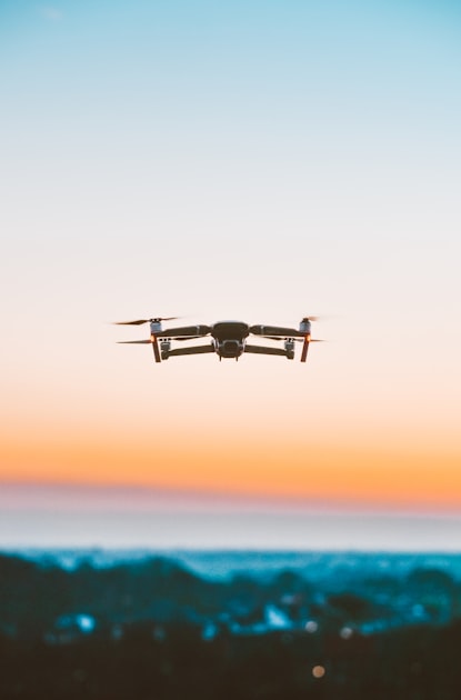
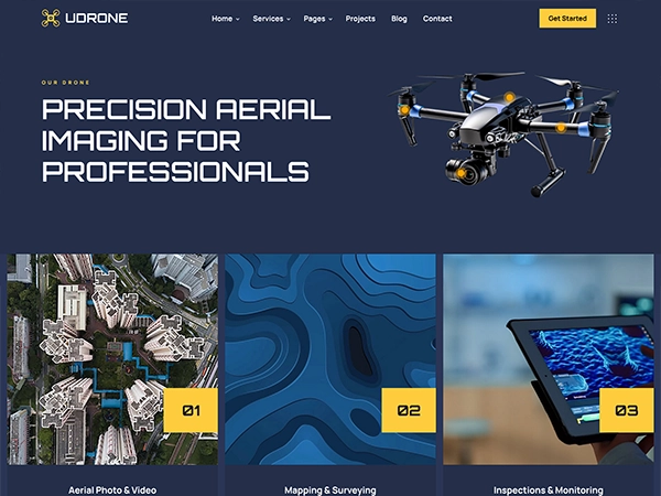
Drones equipped with advanced imaging technology are essential for accurate mapping and surveying. They provide high-resolution images that are crucial for land management and construction projects.
This technology ensures that data is collected efficiently and accurately, saving time and resources.